
Last update images today Political Vs Physical Maps: Decoding Our World
Political vs. Physical Maps: Decoding Our World
Understanding the world around us often starts with maps. But not all maps are created equal. This week, we're diving into the fascinating differences between political and physical maps and why understanding both is crucial.
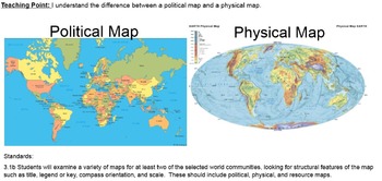
What Are Political Maps? Understanding Political Maps
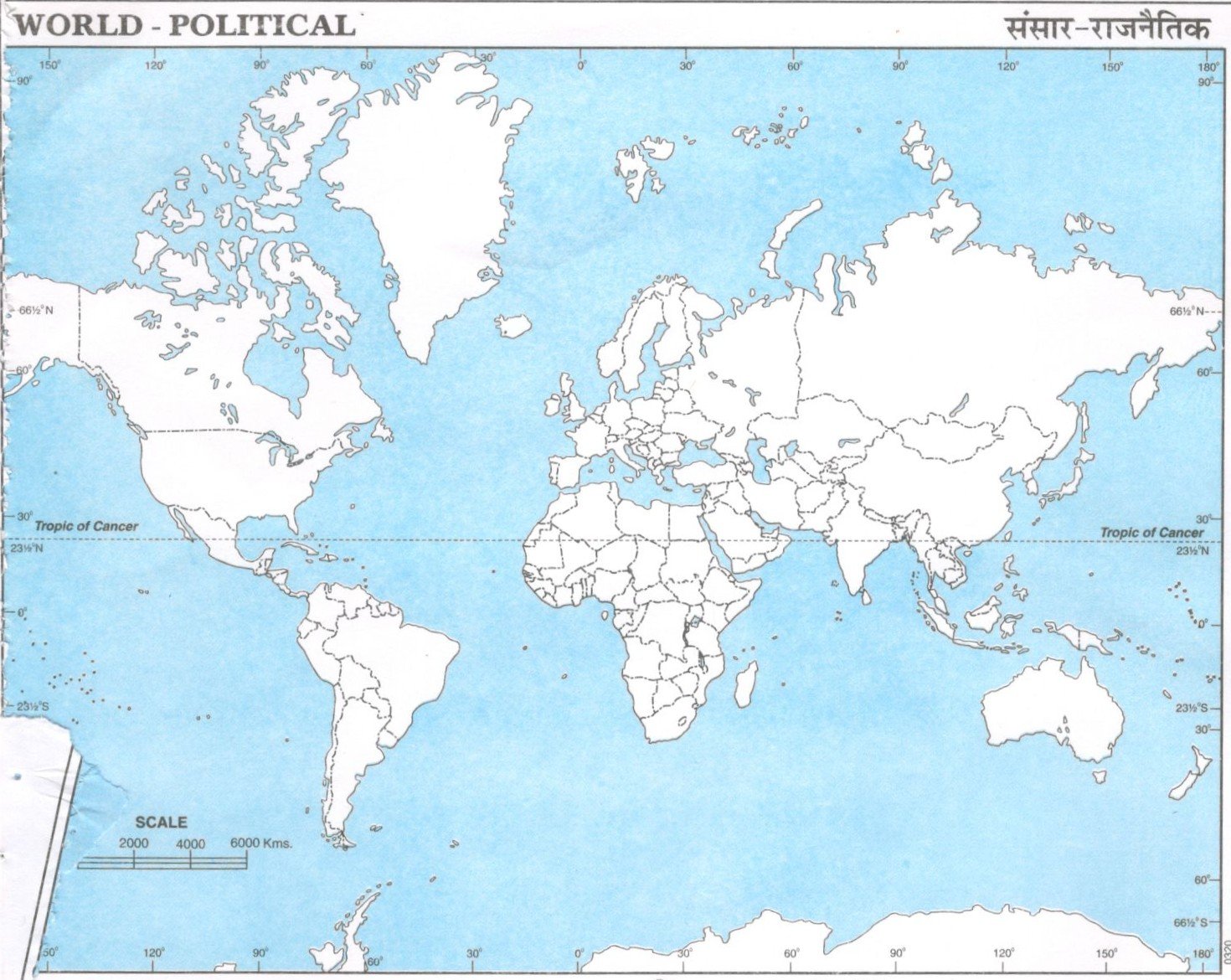
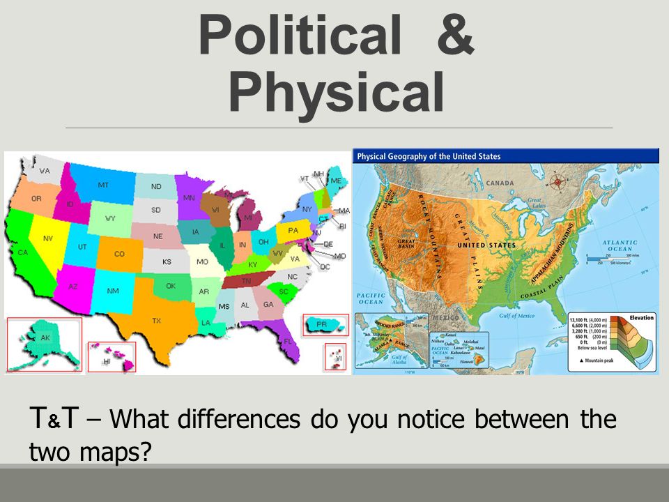
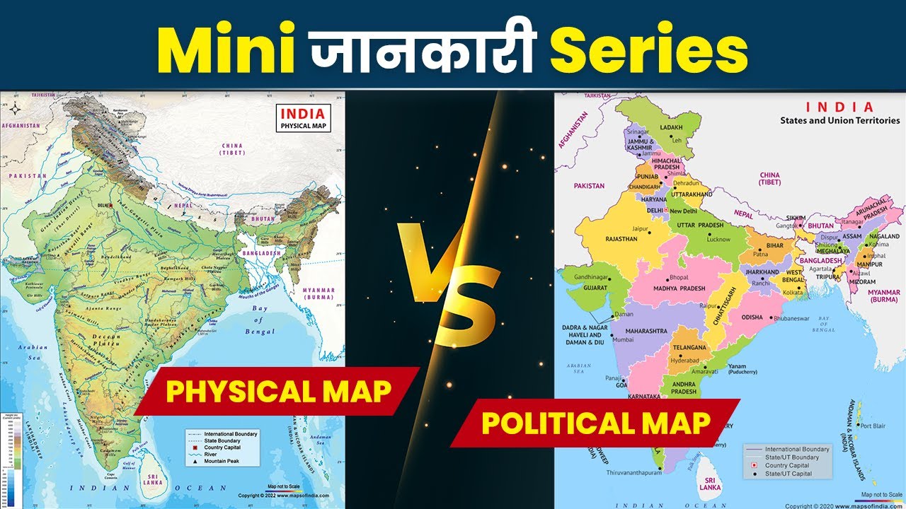
Political Map displaying country borders.
A political map focuses on the human-defined aspects of the world. Think of it as a snapshot of how we've organized ourselves on the planet.
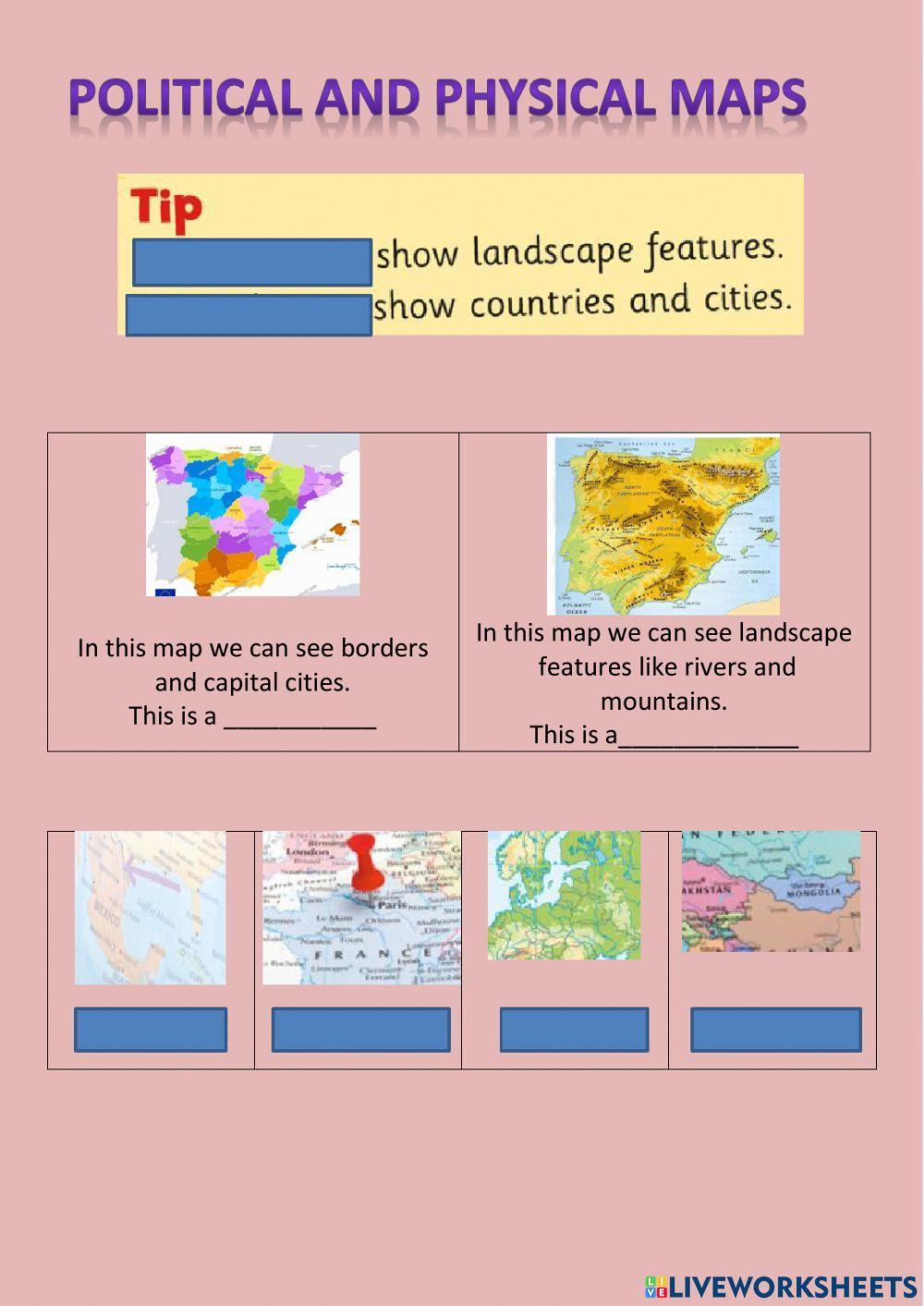
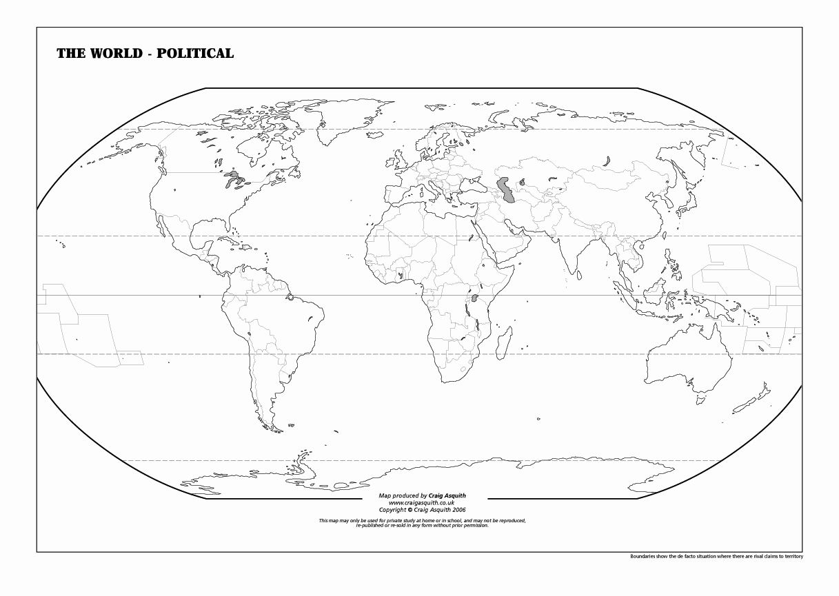
- Borders and Boundaries: The most prominent feature is the display of country borders, state lines, and other administrative divisions. These lines are not naturally occurring; they are drawn by people, often through treaties, wars, or agreements.
- Cities and Capitals: Political maps clearly mark the locations of cities and, especially, capital cities, which serve as the seats of government.
- Transportation Networks: Major roads, railways, and sometimes even shipping lanes are often included to illustrate how people and goods move within and between political entities.
- Purpose: Primarily used for understanding geopolitical relationships, administrative structures, and for navigation between human-defined locations.
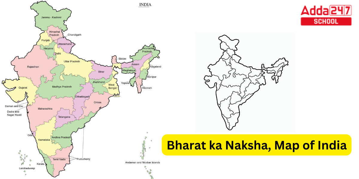
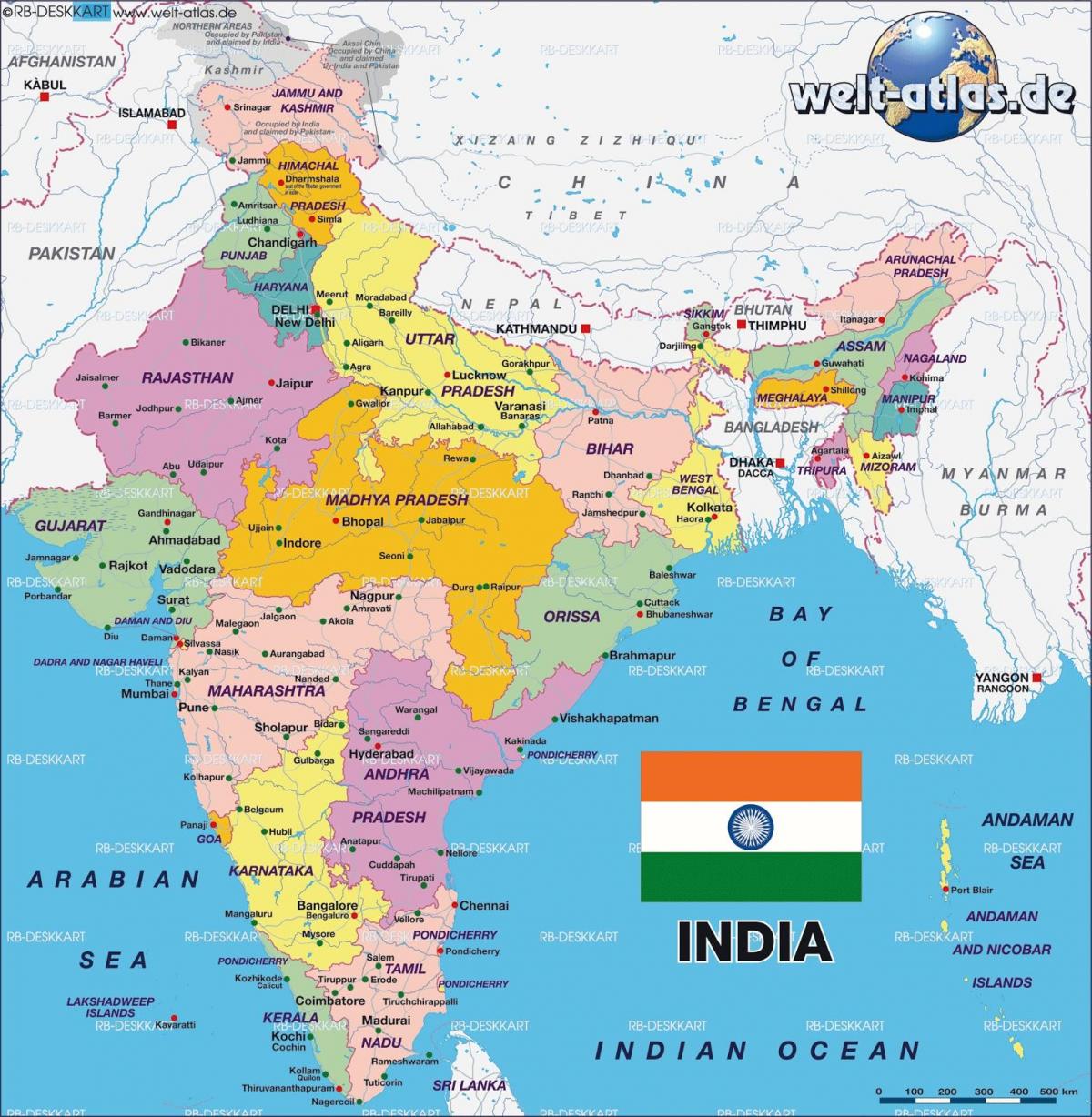
Example: Think of a map you might use to plan a road trip across Europe. You'd use a political map to identify the countries you'll be driving through, the major cities along your route, and the locations of border crossings.
What Are Physical Maps? Understanding Physical Maps
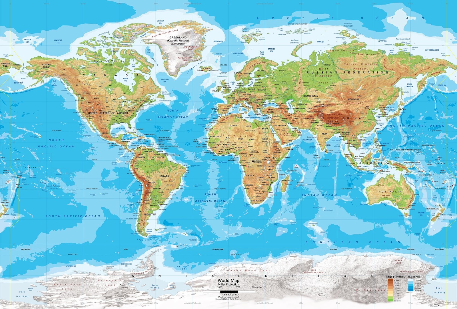
Physical Map displaying elevation changes.
A physical map, on the other hand, emphasizes the natural features of the Earth. It paints a picture of the landscape's terrain, water bodies, and other geographical elements.
- Elevation and Topography: Color-coding is often used to represent different elevations, from deep blues for ocean trenches to vibrant greens for lowlands and gradually shifting to browns and whites for mountains and high plateaus.
- Mountain Ranges and Peaks: Prominent mountain ranges, individual peaks, and other significant landforms are clearly labeled.
- Rivers, Lakes, and Oceans: Water bodies are a key feature, with rivers, lakes, oceans, and seas distinctly marked and often labeled.
- Deserts and Forests: Large-scale natural features like deserts and forests may also be indicated to provide a more complete picture of the physical environment.
- Purpose: Primarily used for understanding the Earth's natural landscapes, geological features, and for activities like hiking, climbing, or studying geography.
Example: If you were planning a hiking trip in the Himalayas, you'd rely on a physical map to understand the elevation changes, identify mountain peaks, and locate rivers and lakes.
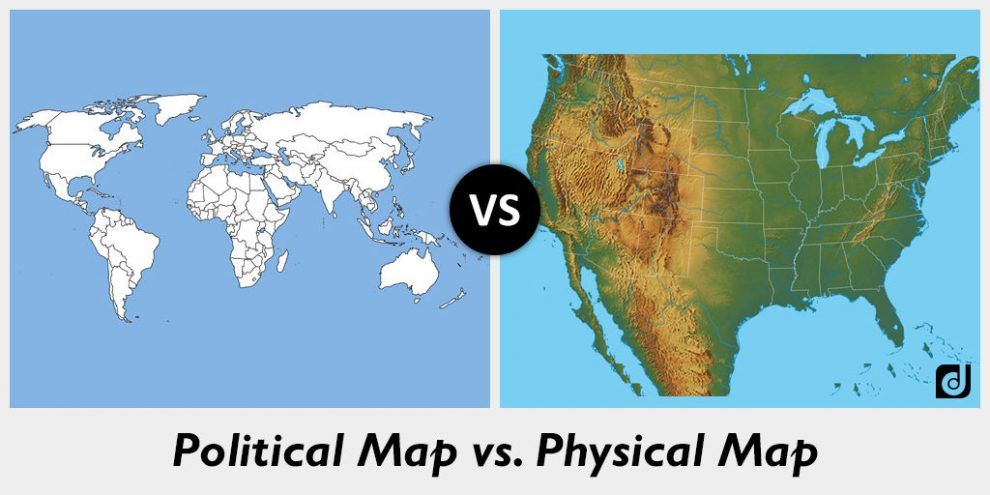
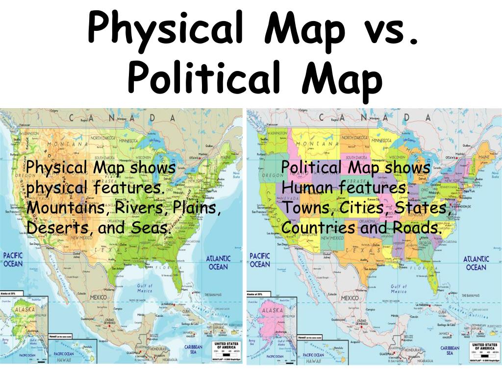
Political Maps vs. Physical Maps: Key Differences
| Feature | Political Map | Physical Map |
|---|---|---|
| Focus | Human-defined boundaries and features | Natural landforms and geographical elements |
| Primary Use | Understanding political relationships, navigation | Understanding landscapes, planning outdoor activities |
| Representation | Lines, colors for administrative divisions | Colors for elevation, shading for landforms |
| Key Elements | Borders, cities, roads | Mountains, rivers, elevation, deserts |
Why Understanding Both Matters: Understanding Political and Physical Maps
Knowing the difference between political and physical maps isn't just academic; it's essential for informed decision-making and a better understanding of our world.
- Geopolitics and Conflict: Understanding how political boundaries are drawn in relation to physical features (like rivers or mountains) can provide valuable insights into the causes of conflict and geopolitical tensions.
- Environmental Planning: Physical maps are crucial for identifying areas prone to natural disasters like floods or landslides, helping to inform urban planning and disaster preparedness efforts.
- Resource Management: Mapping natural resources like water, minerals, and forests relies heavily on physical maps, which help us understand the distribution and availability of these resources.
- Travel and Exploration: Whether you're planning a cross-country road trip or a backpacking adventure in the mountains, both political and physical maps are essential tools for navigation and exploration.
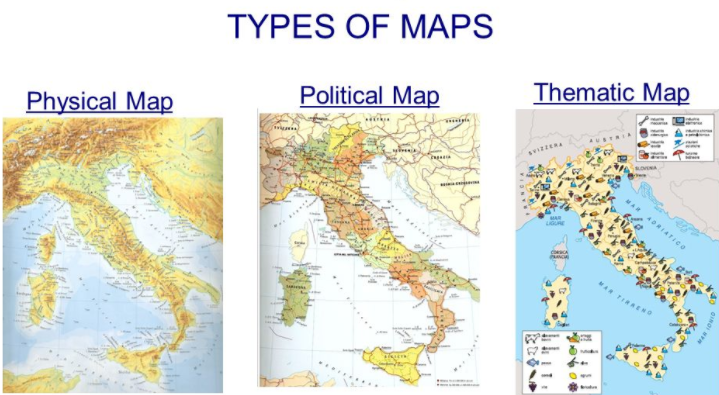
Beyond the Basics: Types of Maps
While political and physical maps are fundamental, there are many other types of maps, each serving a specific purpose:
- Thematic Maps: Focus on a specific theme, such as population density, climate, or economic activity.
- Topographic Maps: Detailed maps showing elevation contours, useful for hikers and engineers.
- Road Maps: Primarily designed for navigation on roads and highways.
- Climate Maps: Show the average weather conditions in different regions.
Celebrities and Maps: A Surprising Connection
While not directly involved in map creation, some celebrities are vocal advocates for geographical literacy and environmental awareness, often utilizing maps in their work or advocacy. Consider Leonardo DiCaprio, known for his environmental activism.
Who is Leonardo DiCaprio?
Leonardo DiCaprio is an American actor, producer, and environmental activist. Born on November 11, 1974, in Los Angeles, California, he rose to fame for his roles in films like "Titanic," "The Aviator," and "The Revenant," for which he won an Academy Award. Beyond his acting career, DiCaprio is deeply committed to environmental causes, using his platform to raise awareness about climate change, biodiversity loss, and other pressing environmental issues. He founded the Leonardo DiCaprio Foundation, which supports various environmental projects around the world. His advocacy often involves understanding and communicating geographical data, making maps an essential tool in his environmental work. While he isn't a cartographer, his use of geographical information highlights the importance of maps in understanding and addressing global challenges.
Tips for Using Maps Effectively
- Check the Date: Ensure your map is up-to-date, as political boundaries and physical features can change over time.
- Understand the Legend: The legend (or key) explains the symbols and colors used on the map.
- Pay Attention to Scale: The scale indicates the relationship between distances on the map and actual distances on the ground.
- Use Multiple Maps: Combining different types of maps can provide a more comprehensive understanding of a region.
- Use Digital Mapping Tools: Online mapping platforms like Google Maps and ArcGIS offer interactive maps with a wide range of features and data layers.
Political Map and Physical Map: Conclusion
Understanding the differences between political and physical maps is crucial for navigating our world, whether you're planning a vacation, studying geography, or simply trying to make sense of global events. Both types of maps offer valuable insights into the human and natural features of our planet, empowering us to make informed decisions and appreciate the complexity of our world. Beyond trends, maps are informative, educative, and beyond reference.
Summary Questions and Answers
- Q: What's the main difference between political and physical maps?
- A: Political maps show human-defined features like borders and cities, while physical maps show natural features like mountains and rivers.
- Q: Why is it important to understand both types of maps?
- A: It allows for a more comprehensive understanding of geopolitical relationships, environmental issues, and resource management.
- Q: Can you name a celebrity who uses geographical information in their work?
- A: Leonardo DiCaprio, known for his environmental activism, utilizes maps and geographical data to raise awareness about climate change and other environmental issues.
Keywords: Political Map, Physical Map, Geography, Cartography, Map Reading, Map Skills, Borders, Boundaries, Elevation, Topography, Cities, Capitals, Rivers, Mountains, Leonardo DiCaprio, Environment, Environmental Activism.


What Are Physical And Political Maps Different Types Of Maps Maxresdefault India Political Map Hd India Navigating The World A Comprehensive Guide To Travel Directions Maps World Political Map Usa Political Map 2025 Carlee Pegeen Stock Vector Geographic Regions Of The United States Political Map Five Regions According To Their Geographic 2172943631 Difference Between Physical Map And Thematic Map At Jeffery Vaughn Blog Types Of Maps Physical Maps Show Location And Topography%2C Or Shape%2C Of The Earth's Land Features. Latest 2025 Electoral Map 2025 Emiliano Hunter LZ1jy Map Of World In 2025 Emma Norina Alternate World Map In 2025 By Canhduy2006 Dfrg2rl Pre Political Map And Physical Map Political Map Vs Physical Map L
Political Map Vs Physical Map Map Original 2344100 1 Us Political Map 2025 Tansy Florette 2023 Summer Webimages Map Atlas 36a Recolor World Political And Physical Map World Physical Politcal And Physical Map Of India 91sEGtfgSzL. AC UF1000,1000 QL80 Maps Of The World Physical And Political Maps Educational Videos For Maxresdefault Maps Of India Maps Of World Download Physical Political Rivers World Political Map Image AglaSem Schools Political Map 2025 Emily Avery L8mWd Map Of Us By Political Party 2025 Walter J Boone 0V8nZ
Physical Map Political Map And Thematic Map Dorice Jeannette 000PUSt9VGBs2FCDhBzHyQ B Difference Between Political Map And Physical Map Map Vector Bilarasa Slide 4 Physical And Political Maps Worksheet Live Worksheets Worksheets Physical Map Worksheet 4 Political Vs Physical Map 78302c14 C13d 46c4 A626 3cae7eb59dc8Political Map And Physical Map 01 75 Physical And Political Maps Worksheets Beautiful Political Map Physical And Political Maps Worksheets Beautiful Political Map Worksheet Of Physical And Political Maps Worksheets
What Is Physical Map And Political Map Free Printable Template World Physical Political Map Political Map And Physical Map Difference Difference Between Political And Physical Map Us Senate 2025 Interactive Map Oliver Daniel DATA DOWNLOAD 12022 12 04 Daab16 Political Vs Physical Map For Kids 55bcd9b6d0278d25395096d5ab2f7822 This Is A Hand Painted Modern Map Of The World Political Map Of The World Map 2022 Political Vs Physical Map For Kids 5 Themes And Map Skills 16 728 Political Map Vs Physical Map Miller World Physical Wall Mural Lg
Political Map Vs Physical Map Physical Map Vs Political Map L 1936063 Political And Physical Maps C Sar Asensio 20313213738262202001 India Political And Physical Map Political And Physical Map Of India India Political And Physical Map